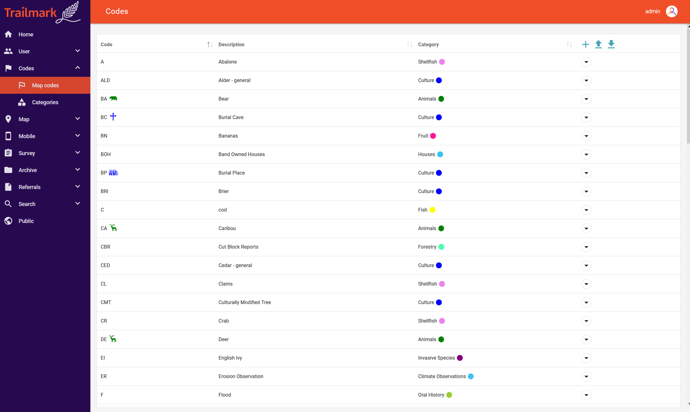
Create your own map-based interview records. Import/export, view and analyze your spatial data. Upload and organize your map layers. Tag geometries with keywords, photos, audio files or time periods. No expensive GIS license or training required.
Create an easy-to-use digital archive. Upload and search important documents and reports. Store and connect all your digital audio/video, image, transcript and other multimedia files. All in one place, cross-referenced and searchable.
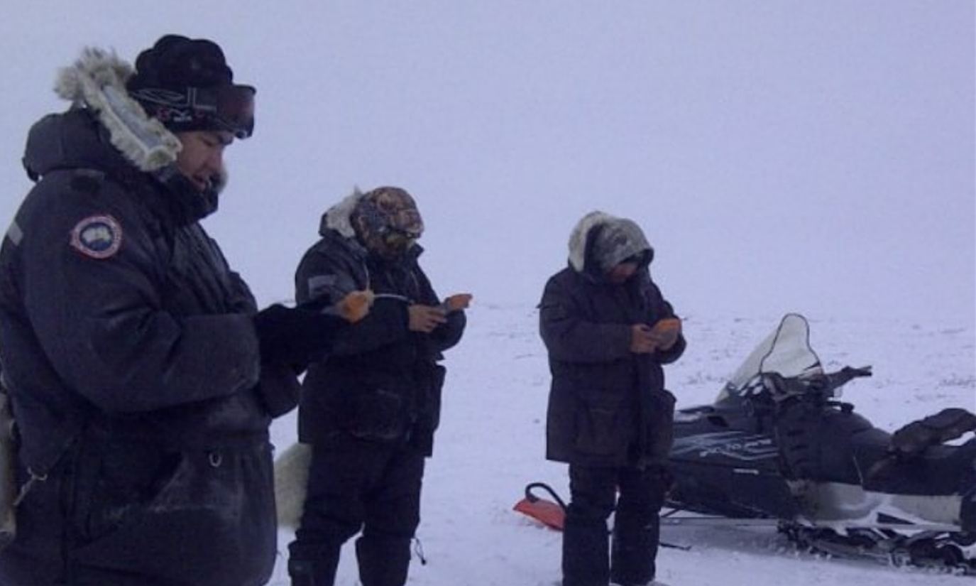
Customize your own mobile data collection app. Automatically upload field data from your mobile device into Trailmark. Analyze incoming data in real-time. Trailmark Mobile supports iOS, Android and Windows Mobile 6.5.
Develop and deploy custom online surveys with our easy web form creator. Assign survey projects to your user group or a public website. Users can geo-locate their own responses. Analyze and use the data for decision making, reporting and community engagement.
Keep community members engaged by sharing select content online. Authorized users just click to push data to a public-facing website. Share key findings and survey results, or curate collections of archival records. Post only what you want, and change it up anytime you like.
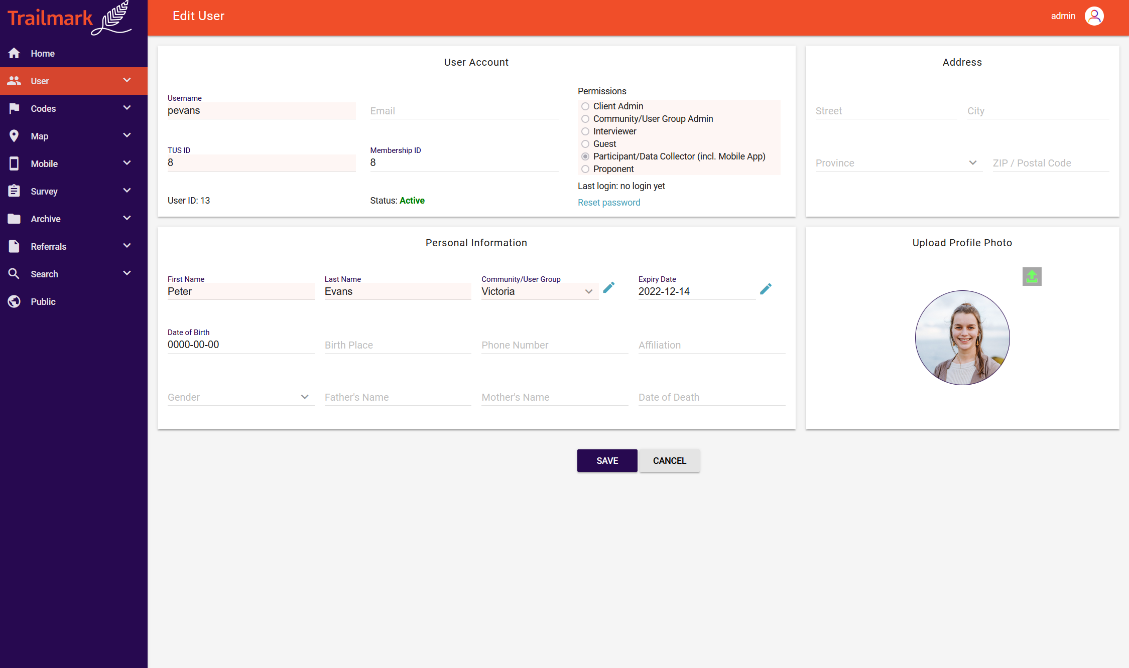
Run spatial queries and export results as a KML or CSV file. Search your digital archive by e.g. keyword, map area, map code, user, or time period. Create custom referrals and applications, monitor your workflow and project milestones.
"If you are a First Nation who wants to conduct your own Land Use Mapping and build in-house capacity Trailmark Cloud is the way to go." - Casey Becker, Temagami First Nation
"Using Trailmark allowed us to standardize data collection among observers and save time by recording all the relevant information directly in the field and then uploading it wirelessly at the end of the day." - James Hodson, GNWT

 Interview/Mapping
 Email/Phone Support
 Daily Database Backup
 Public Website
 Interview/Mapping
 Email/Phone Support
 Daily Database Backup
 Public Website
 Interview/Mapping
 Email/Phone Support
 Daily Database Backup
 Public Website
 Interview/Mapping
 Email/Phone Support
 Daily Database Backup
 Public Website
 Interview/Mapping
 Email/Phone Support
 Daily Database Backup
 Public Website
 Interview/Mapping
 Email/Phone Support
 Daily Database Backup
 Public Website
Please use the contact form below if you have any questions or requests concerning our services. We will respond to your message within one business day.